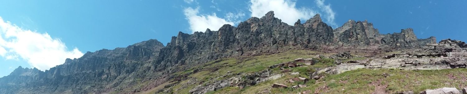
Visiting White-Far-Off-Robe. The endless scree dome of Apikuni.
Origin date: 7/4/2023
The tribe common to Glacier National Park is the Blackfeet, a loose confederation of a several tribes: the Blackfeet proper, the Piegans, and the Bloods.
Now, Piegan and Blood are variations of Pikuni and Kainai. Pikuni translates to Far Off Robe since the Pikuni were from the great plains where they hunted the American bison (and were known for the robes they wore from their great hunts). Stay with me here.

So when I decided to climb (i.e., drag my sorry ass uphill on scree for half a day), Apikuni Mtn, it was a good choice with fantastic historical overtones. With over 4,000 feet of gain in under 2.5 (mostly) off-trail miles, it makes for an honest day of exercise in GNP. And I get to knock off a 9K peak I’ve never done.
Named (or unintendedly renamed, as with other features in this area) in 1885 by George Bird Grinnell (future Father of Glacier NP) for his friend and guide at the time, Apikuni. Now, Apikuni was not born to the Pikuni tribe. He was a white fur trader who married into the family. Hence, the moniker Api -Kuni = “White Far-Off Robe.” It could have been a lot worse.
I start from the Appekunny Falls trailhead to get the first (and only) mile of trail out of the way. The route is straightforward. Just go up for the next four hours or so. The weather is on the marginal side again. But for early July, that is what you should expect.

But I see some blue sky behind me over Grinnell Point and the valley doglegging off to Piegan Pass. With a bit of luck, some of that might blow my way. At least the wind was only a soft roar.

Grinnell Point tops out at about 7800 feet. That gives you a good idea of where the cloud ceiling is hanging out this morning. I hope it will push a couple thousand feet higher by early afternoon.

I find the ‘hidden’ trail that will take you up to the hanging valley where the summit of Appikuni can be reached. This trail was one of many that fell off the NPS maps after WWII. There were just too many to maintain with a limited post-war budget.
Almost all the trails in the Park were built for the extensive horse pack saddle trips offered by the Great Northern RR. When all of them folded and went into the history books in the early 1930’s, the less used became memories as well.

I climbed higher into the valley. Keeping my fingers crossed with the weather. Still, there is a lot of lingering snow even starting into July. You can tell by the dwarf alpine firs that a LOT of wind channels through here.
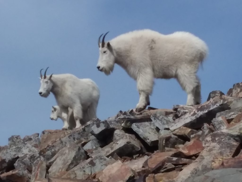
There is also a healthy bear population that frequents in the spring. And lots and lots of shallow caves in the red and tan limestone that mountain lions love. Not my favorite spot to hike…… alone.

Of course, there is a second hanging valley in what I like to call the Altyn/Henkel/Apikuni complex. Those glaciers of many millennium in the past have carved all kinds of cool stuff just a couple miles off the pavement. Less than 1% of Park visitors see this stuff.
Which is fine by me. Ahead is the upper valley that holds one of my favorite lakes in the park, Nataki, with the falls from the outlet stream visible. Of course, Nataki was named after…. wait for it…. the wife of Appikuni.

However, I’m going up to something higher than Nataki today. I must climb and push much, much farther to the right. On the bright side, I get to skip climbing the headwall directly ahead. On the dark side, I have to climb the monster that hasn’t even come into view yet.
But the blue is peeking through, and I’m sure I will have the entire valley to myself today. It’s hard to believe that three miles away, as the crow flies, people are fighting for a spot to park at the Many Glacier Hotel and swimming through a sea of tourists.

Now, the minutes are starting to turn into the first few hours. No matter how many steps I grind out, I’m standing in place. I’m beginning to understand what a mile of vertical gain feels like.
Of course, it has to end sometime, right? This is when you start counting steps and not miles. But I can see wonderful Lake Nataki (both upper and lower) on that hanging bench steadily dropping below me.

I understand how BIG this glacier bowl is as Mt. Altyn dwarfs below me. At 8000 feet, it was a tough climb early in the season. Now, it is just another bump in what is turning into the classic Sea of Peaks so often seen from Glacier’s highest points.

I had been keeping my sights on the summit but decided it was best to get off the step scree slopes (which were hitting 48 degrees per Strava) and get on the summit ridge. From there, I could follow it to the summit and at least take some views before they were all consumed by the clouds. Nothing is worse than spending half a day climbing only to be sitting in a cloud cap on the summit.

From here, I get a peek at the backside of Apikuni, and I realize just what a massive mountain this is. In the distant sunshine is the trail coming over Redgap Pass to Poia Lake and eventually down to the Many Glacier Road.
I also got my first close-up this season of Yellow Mountain. Something that had never been on my radar before. But it is undoubtedly on the first page of climbs now.

Once on the ridge, the agony continues. A little wind picks up, and I start pushing toward the summit until I find out it’s false. As is the next, and the next, and the next. I’m beginning to think of a giant hamster wheel. With lost visibility, I must make sure I don’t cross over the top and start down the other side.

Then I see it. Unmistakable. Summit cairns typically are hard to miss. And I might get some views! I hope for an optical illusion; that pile of rocks is only six inches high, and I’m almost there!

Although I spend a lot of time on the summit, I immediately look back and think: Yeah, take that summit ridge to the left as far as I can until I drop back onto the scree slope. That stuff was as miserably slow—one of the longest 2.5 miles I’ve ever done.

I can see why many people climb Apikuni as part of a grand ridge walk circle that includes summiting Henkel and Crowfeet on the same day. You can walk up here for miles once on top. But all that loss and gain packed into a twenty-mile day seems like a lot of work.
Or you can pick them all off one at a time and enjoy the hours and miles at high elevations. I’m getting to the part of my life where I’m tired of always being in a rush and would sometimes just like to enjoy being old. Take time to see and enjoy where I am versus hurrying to the next view.

It’s not the best of views, but it’s enough for me to enjoy. I’m seeing many old friends out there in the sea of peaks. It’s been 40 years since I first started hiking and climbing here. It feels like only yesterday.
I still have enough cartilage in the knees to make it a few more seasons. After that, I can start taking old people tours outside the US abroad. Where the most important sightseeing stops are based on restroom availability.

Although not much of a real climb per se, you get a lot of view the buck when you take on a nine thousand footer in a great location. With the swirling clouds, I’ll just #DaveOnEverest on social media. Yep. It’s about time Dave stepped up and participated in some good old-fashioned social media misinformation!!

Peaks in this part of the Park remind you that a million acres is less vast than you think, depending on your vantage point. I can see across Mt. Henkel (8770) to iconic Heavens Peak (8991), which I get an up-close view on my Red Bus tours almost daily.

The horn of Mt Wilber (Heavy Shield) dominates to my right. Swiftcurrent Peak (and fire lookout) is so small to the left and center. Today, the hills look like they should be from an Edward Rice Burroughs or maybe even a Jules Verne novel. I’ll keep my eyes out for any dinosaurs!

Lake Nataki is one of my favorite places in the Park. I’ve been there many times, but only from this vantage realize what a true off-trail hike it is. I always considered it an easy half-day outing and would take anyone who didn’t know better.
Now I realized what all the bitching was about. And why those people would never hike with me again. For some, that was for the best (you know who you are, Brigid).

Just a little sun on Yellow Mountain. I could turn it into a long ridge walk. This park of the Park isn’t hiked or climbed that often. A good wilderness adventure with a short approach? I could get into some more of that!

The bottom of the reservoir known as Lake Sherburne will be bone dry and nothing but mud flats in less than six weeks. It’s an excellent place for bear spotting late in summer. Mt Siyeh is lost in the clouds, but MASSIVE Mt Allen to the right is as dominant as ever. Mt. Allen is ranked as the largest peak in the Park by sheer volume. You can see why.

It is time to start the trip back down. For the return I decided to stay on the ridge as long as possible and descend to the abandoned trail at the top of Appekunny Falls. I thought it would HAVE to be faster than the route I took up.
And I was right. After traversing for only about twenty minutes, I look over my shoulder and see the unassuming and almost blase summit of Appekunny fading away into the distance.

In just over an hour, I find myself almost out of the valley and ready to drop down to the old trail. Mt. Henkel gives me a wink and a goodbye nod.
The following 1000 feet was some of the worst blocky, loose scree I’ve done in the park. However, I made quick work of it and kept the duration of pain to a minimum.

Amazingly, I was back at the truck just under two hours from the summit. Less than twice the ascent time. I love this valley in the Park. Easy access and you will never see anyone back here other than current or past Park employees.
I’m glad the NPS removed this trail from maintenance a half-century ago. It allows people like myself to escape the crowds and feel some of Glacier’s solitude. So near and yet so far. It is amazing the places you can visit just off the beaten path. Places that remind you of the wild and raw country GNP has to offer. And why it was established as a National Park over a hundred years ago.
GoatBoy out!


 Total views : 1530504