
Swiftcurrent Pass via Dave’s Direct – A personal journey in the sky.
All righty now. Let’s try this again.
If you have been following my recent posts let me start by saying thank you. And if you have not, let me just say you should find better ways to spend your time. I mean how many of the recipes that you’ve gotten off Facebook are you going to actually make? I digress.
So far in the 2023 season, I have gotten some of the best weather Glacier Park can offer and some of the worst. Today I was simply going for something in between. And sad to say I pretty much got it. Well not that sad. You be the judge.

Now considering that my little hike attempt up to Ptarmigan Tunnel, the mountain gods pretty much handed me my ass in a sling (which no one knows the meaning of anymore), this was pretty much banner day. This is the VERY next day after that rain-fest of a hike. That is how fast the weather in the Montana Rockies can change.

Now I am a 50% blue sky guy. Give me half a chance with the sky and I will take it any day of the week. And today I’m even going to double down by taking on a monster. The Swiftcurrent fire lookout. Stats are pretty scary on the reader board at the trailhead.

Now these are some of my old friends. Considering Grinnell Point is just under 8000 feet I think I stand a pretty good shot at getting up to just over 9000 feet and having a view.

There is nothing like my zero visibility of the day before. It looks like Wilbur wants to be my friend today, framed in by these beautiful Aspen trees with just the right amount of white snow for accent.

Once more I must respect my nemesis. That happens to be right up there in the middle of that giant cloud bank. Since I’m getting an early start, it has about probably 4 hours to clear. If my snow route is slow, maybe 5. I think it is definitely worth taking the chance today. With so much blue sky I hardly have to think about death at all.

What a difference a day makes. Everything looks so much more promising now. Of course, that cloud bank is right where the mountains meet the continental divide. You should always expect some weather to be either hanging out here or blowing over. It is just one great meteorological confluence in the sky. That you must respect.

I want to do more leisurely scrambling this year instead of long mileage hikes and peaks. Case in point. I’m scouting out a beautiful route up the side of Mount Wilbur, which will put me on the top of Bullhead Point.
There is an old mine there from the 1890s I want to find and explore. Also, I hear it’s a good place to hide a body so don’t tell Nancy about it. Or at the very least the life insurance company.

Now I know it’s early season and I did expect to get my feet wet. However not this early in the hike. It appears that they rolled up the suspension bridge across the inlet to lower Bullhead Lake. There is no way across except to strip off your boots and wade through the icy water.
This is clearly where all of the day hikers are stopping. No one is attempting to get up to the pass this early in the season.

The bridge looks a little buckled up and I assume they have repairs to do. That would be the only reason why they would take it down because it’s always stood up through the entire year before.

This is Dave not happy to have an extra water crossing thrown into his long day of hiking. But I found out it does make the swelling go down in the feet when you were heading home.

It’s a process to strip down to your bare feet, dry them off on the other side, and suit back up. A solid 10-12 minutes x 2 because you have to come back. This means every barefoot crossing is going to cost you 20-25 minutes.
That time can really add up on a multi-hour multi-mile day with 3 to 4 crossings. Grrrrr.

I don’t know why more people don’t make Bullhead Lake one of their destinations in the Swiftcurrent Valley. It has great panoramic views and easy access to the shoreline. With maybe just a couple of 100 feet of gain and loss over about 3 1/2 miles one way, it’s a comfortable hike.

At the same time, you get marvelous up-close views of countless waterfalls, snowfields, glaciers, and the wonderfully colorful and layered sedimentary mountains that Glacier is known for.

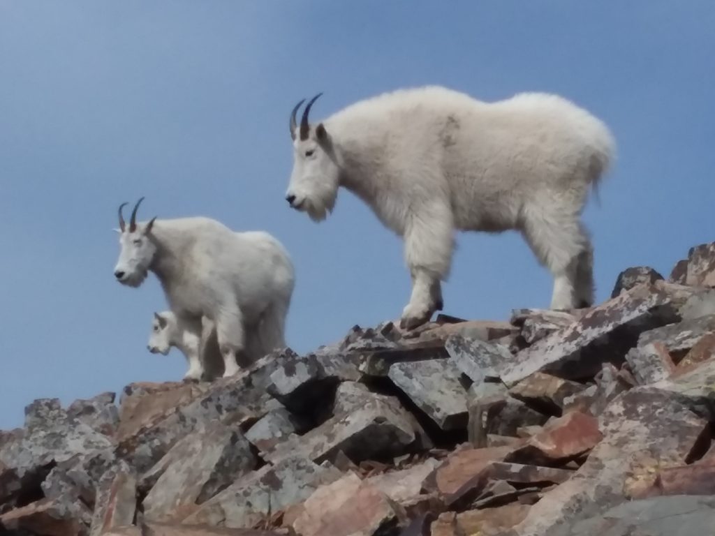
The bonus is the wildlife. This is prime moose habitat, and they love to hang out and forage in this lake. There are also large huckleberry fields and hillsides tucked away back here. Great for pickers, and those crazies who want to see bears. The only thing other than fear that will kill you. I digress once again.

After I got my feet wet for the first time, I start trying to find some rhyme and reason as to why the NPS chooses to remove some creek crossing every season while they allow others to stay in place. Hmmmm…. This one could easily be washed away. And yet here it is.

And here are some rocks to skip across. I guess it made sense at some time to put the trail right thru the middle of the stream coming down from the glaciers. At least they don’t roll the rocks out of the way every season.

Another footbridge was deemed not worthy of removal. One would think during high runoff the NPS would be having to chase that thing a couple of hundred yards downstream. I guess not.

But wait! Here is one they had to pull back. With the warm spring and high runoff, you can see how this 800-pound monster board would be in danger of (gasp) being nudged out of alignment?
Yeah, right. More like they want to reduce the number of people that would cross who would be unprepared for the early season snowfields certainly to come. Finally, NPS is logical.

Once I get my feet wet for the 3rd time, I’m finally off to the races. I’m seeing just enough blue up there to think this might be a good day to get some elevation and enjoy some storm-ravaged vistas.

The water is really flowing. Some of this is glacial melt, some from recent storms, but the lion’s share is coming from seasonal snowfields that will be gone by the time the heat of August hits.

The giant waterfall at a turn in the trail is known as the Devil’s Elbow. I guess the name BFS was already taken (Big ******* Switchback). Not sure what Satan has to do with hiking.
And this was originally a horse-only trail, so it’s not like you had to huff and puff and curse the anti-Christ or anything back in the early 20th century. Let’s continue.

I shot this little clip just to show how loud these things were. That’s a lot of water coming down from a lot of different sources. Kind of cool.
And speaking of cool, got to get a picture of Dave. Hmmmm…. But I don’t like the fact the cloud ceiling had not burned off yet. Nor the fact I’m about to walk into it.

But the valleys are staying warm and blue. The trail up to Swiftcurrent Pass will cost you some knee cartilage and test out the lungs. But the views will generally more than make up for it.

A wonderful panorama with the trail on either side. Magical? I don’t know. I’ve done this trial many times and I still always need to take a pause the just look. As I get older, I have a few perches I can pack a camp chair to when I can’t make the top. But that is then, not now.

The steep snowfield crossed the trail at the upper end of the Devil’s Elbow. If you don’t have snow equipment here, do not enter. This is where the faint boot prints I saw stopped. I could get a pretty good bite with my crampons. An ice axe is essential.

`
The snowbridge up across Swiftcurrent Creek. This is the start of my route. I’m calling it Dave’s Direct. The gully is much more melted out than last year. I can tell it has been hot. I take my time accordingly and stay to the left, so I have time to self-arrest if I slip.

Ugh. Where is my blue sky? Come on. It HAS to clear, right?

A lot of exposed rock for the last weekend of May. I had to make some crossovers to keep from walking on bare brush and stone. I’m using my aluminum crampons, and they can’t take near the abuse that steel ones can.

From the depth of these sun cups, you can tell there has been some heat up at the higher elevations. And that nice tint of red is a type of algae that grows on the snow. It can take the cold from the snow and the heat of the sun on hot days. Looking for the bug that will destroy the world? I would start with that stuff.

The final approach to the Pass. The fire lookout is another 1.5 miles to the right and about 800 feet of gain. I should be seeing it at this point. Alas. Not today.

Trailhead sign. No hopes of getting any serious elevation today. But it is the journey and not the destination, right? Yeah, that’s something people say that have a really lousy destination (like Disneyland).

But why not hear me talk about the experience a little?
The long long trip back to the valley floor. I was able to find an all-snow route back down to the snowbridge. It was comfortable on the knees and kind of fun. Despite the weather not cooperating.

Ah, that is where I left all of the sunshine. At the ascent starting point of the newly coined Dave’s Direct.

I never get tired of these expansive pans.

Bullhead Lake. Again, I’m surprised it’s not a destination hike for more people. Especially families. You could hang out in the sun along that shoreline all day long with kids.
Of course, they would have to be able to hike 7 miles RT, which seems to be a formidable barrier for today’s youth.

I wish this weather would have extended a couple thousand more feet up into the mountains. But at least I had a pleasant (and warm/dry) ascent and descent.

Love how the red Grinnell Agrellite just pops with the green and snowfields. One of the reasons why this is such a popular valley to hike.

There she is. Even in mid-afternoon, SWC peak just will not let go of that mantle of clouds. And I never climb that late in the afternoon. Oh, well, it will be there all summer.
Just so I don’t feel bad, it looks like Mt Gould and the Garden Wall didn’t lose their cloud cap all day either. But it was a wonderful valley day and I got in plenty of miles down low.

So there you go. Kind of a half and half day. But still a winner overall. GoatBoy out!


 Total views : 1527859