
“What are ya, Yella?” I guess I am. At least on Yellow Mountain.
Original Date: 8/23/2023
Sometimes, I make plans that don’t pan out. Over the years, I’ve learned when to stick to a plan and when to throw in the towel. That’s a big decision for me. Things must completely deteriorate, and then I must wrap my mind around it.
And that can be tough. After all, I finish everything I start. Even a terrible book that someone gave me. It’s like the ingrained habit of cleaning your plate at every meal—just one of those things in the DNA.
I wanted to pull off an epic ridge walk with a few peaks thrown in for good measure. After spending some time scouring the map, I settled on Yellow Mountain.
Back in the ice age day, this beast of a mountain was carved up by a dozen enormous glaciers simultaneously. And if my math was accurate, I could keep this to about a 17-mile day.
The bulk of this should be on some beautiful scree ridges, and the balance is on a well-maintained trail that would make for speedy and painless motoring. See for yourself.

It instantly starts terrible. My first day off was solid rain. We got almost an inch and a half. The sky just kept dumping, and there was no way I would hike that high and that far with no views.
On day two, it rained until about 5 am. I got up and made my way to the trailhead. Fingers crossed.

Yeah. I’m screwed. My first mile is on what I find is a seldom-maintained cut-off trail. A day and a half of rain. How many gallons do you think are hanging on that beargrass and ready to soak me in the first ten steps?

It’s a mile and 1,000 feet of gain on slick vegetation. I’m hoping my Gortex snow gaiters will keep out enough of the water until I clear the ridge and get to the better (I hope) trail on the backside.
But I was prepared. I brought TWO pairs of extra socks. I can’t do double-digit miles with wet feet.

The trail starts to open up just a little. But I was expecting this weather to have moved out by now. There will be a solid eight miles of ridge walking. I need the weather to be on my side.

I could tell the trail had flooded some during the last few days. I know I’m on the backside of the storm. But by how much?

I crest Swiftcurrent Ridge and get my first glimpse of the Yellow Mountain Complex (as I call it) through a break in the lodgepole forest. Wow. That is a LOT of ridges.

I look at the lowest saddle, where I want to start the loop. The scrub forest goes higher than I anticipated. That means more water to get dumped in my boots. A better route may make itself known as I get closer.

Ah, come on. You have to be kidding me? Really? Bear activity. I know the rain just stopped a couple of hours ago. There is no way these have been here all night. But they look pretty small.

Of course, the FIRST set of tracks was small. Looks like Ma Bear was in the lead. And I’ve got a feeling her porridge was cold, too.

So, I must stay in the open where the sight lines are the longest. And get up on the ridges as fast as possible. Unfortunately, with all this rain, every stream, creek, and rock face was either throwing off a ton of water or very slick.

Although the beautiful juxtaposition of the weathered gray wood with the vibrant greens stopped me and inspired a wilderness haiku, a new reality existed. I might not make it.
This is the worst stuff to climb through. I fight thick, dense, clawing alpine foliage on wet, slick, unconsolidated boulder fields.
But at least it’s all yellow, so the mountain was named correctly.

I’ve got underbrush to fight along this ridgeline, which makes it very slow going. As a bonus, there are ridgeline gaps that angle down before starting back up. So, there is a lot of unanticipated down-climbing, too.

Unless I want to be doing an extra thousand-plus feet of gain, I will have to try to traverse and sidehill the next ridge, which means hiking with my ankles at a 45-degree angle for a mile on slippery rock.
What could go wrong with that? Other than losing an hour and a half

I take a moment to pan the first half of my epic ridge walk. I can trace the route. It looks like a pretty good distance to cover, and I have been losing time.

Then I pan the SECOND half of the ridge walk. I am only a few miles away as the bird flies, but that rain doesn’t look like it is going anywhere.

I reviewed the ridge that would be my out. The end of the grand Yellow Mountain traverse. It’s a ridge I’ve never scouted, but I was pretty sure will be a speedy and comfortable descent line. Now, I am not so confident.

But maybe there is hope. I got my first sunspot this morning, breaking through the swirling clouds. This may clear yet. Let’s keep on going.

After a slow and nasty traverse, I put most of the high-elevation forest behind me and got a good look at the challenges of the next section of the ridge I needed to climb.
So much for the beautiful rounded scree ridges I was expecting; I’m seeing a lot of stress on the knees coming up. And a nasty downclimb just ahead.

I take a quick look back down the mile I had just covered. At what point do I commit to the entire loop? If I have to backtrack, can I make it out and down this section in the late afternoon or the failing light of early evening?

I see my first blue sky. I’ve got lots of hours left in the day. But do I have enough? Do I want to find out in another six hours that I’m not going to make it, backtrack to this point, and then hike through what is proven to be bear country, tired, beaten, in the dark?

The answer: nope. I don’t need to log empty miles, climb peaks with no views, or sneak up on something that could eat me. This is a bad position and not worth pushing, at least for me.
Instead, I look around for something new. And deep in the valley below me, I see an unnamed falls on an unnamed creek in an incredible little private grotto.
That would be a fun place to explore and spend some hours in on a hot summer day in the future. I set my GPS coordinates.

I start working my way back down to bear country, staying keenly aware of any movement. I also peruse the mountain in front of me.
It just happens to be the backside of Appekunny. From this vantage point, you get an idea of how big that beast is (and why it took me four hours to reach the top).

I am recording my approach for future hikes. The next time, I would go up to the saddle farther down the valley to the right, where the rock looked better and had fewer trees. I try to learn something from every hike.

Come on. You know it. I know it. There are bears out there. Watching. Waiting. And they are much more interested in me than I am in them.

The sky was clearing. But the decision has been made, and I just enjoy the hike out.

An old horse camp. It has had some use within the last couple of years. It makes me think back to the 1920s when horses were much more common than motorized transport. A different time. The twilight of the Gilded Age. The end of the Wild West.

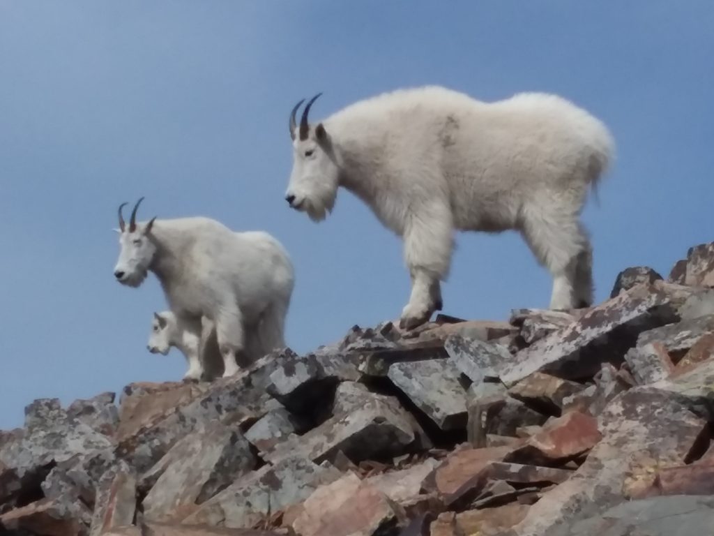
You see things like this when you are very aware of your environment. This fellow did not make a peep and did not move. Gorgeous feathers and coloring. All I can tell is it’s not a Ptarmigan. If anyone knows, let me know in the comments.

Lake Sherburne (an irrigation reservoir) is almost dry, and it’s not even September yet. It has been a scorching summer for farmers. But hardly any forest fires!

The last mile on the cut-off trail was much dryer on the return. But the 1000 feet drop still sucked.
This is clearly an old forest service road built up to the top of Swiftcurrent Ridge for unknown reasons. It probably had something to do with fire management, given it is right on the Park and Blackfeet Reservation border.

GoatBoy may have gone Yella, but definitely not out!


 Total views : 1531999


2 Responses
[…] of argillite. You can barely see the square cap of Chief Mt rising. And… what I call the Yellow Mtn. Complex to the far right. I plan to climb those ridges and valleys before I leave this […]
[…] entire Yellow Mountain Complex. You can see why I tried to ridge-walk that monster. Miles of high-elevation hiking with views […]